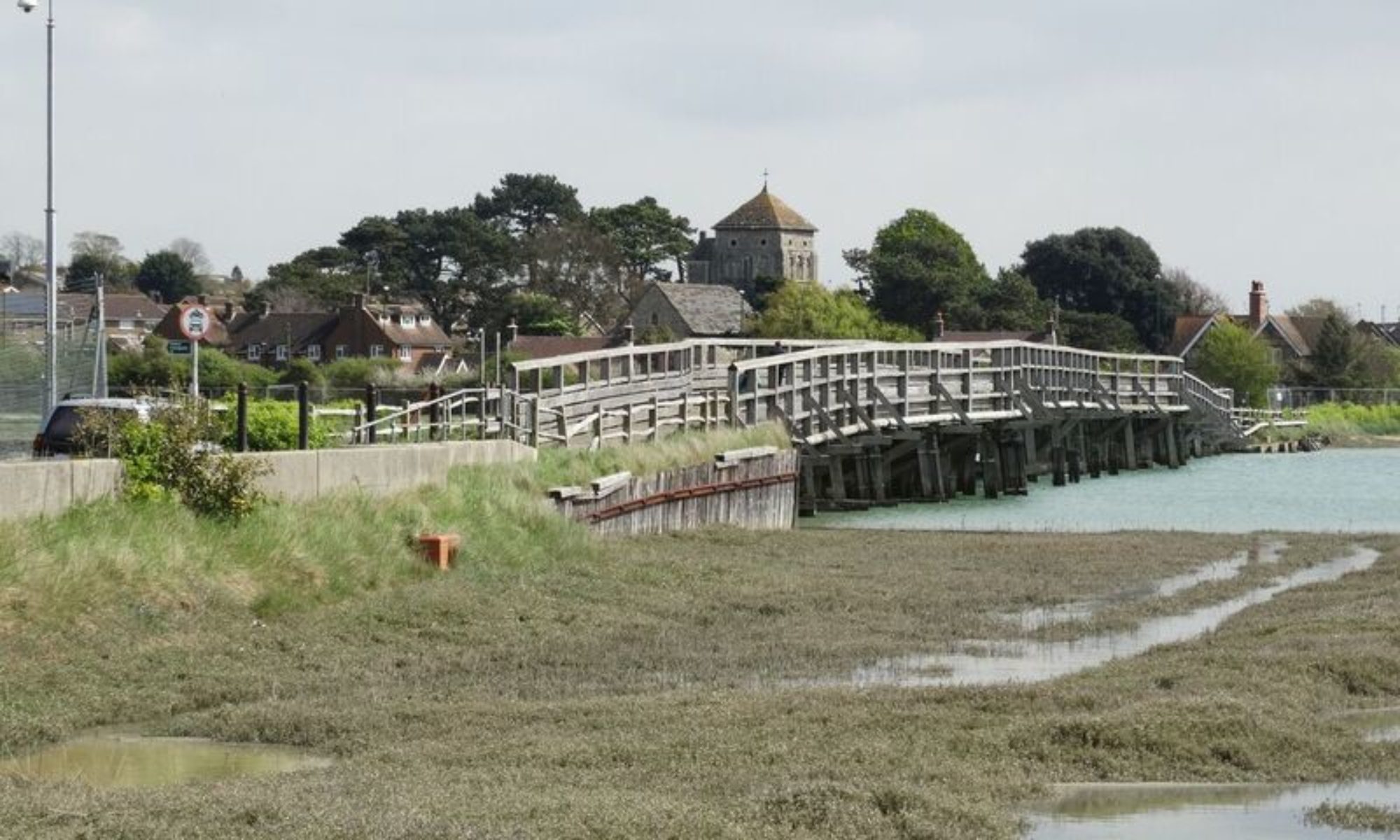
Day Trip to Robertsbridge

Robertsbridge is a village in East Sussex, England within the civil parish of Salehurst and Robertsbridge. It is approximately 10 miles (16 km) north of Hastings and 13 miles (21 km) south-east of Tunbridge Wells. The River Rother passes through the village.

source: Wikipedia


Day Trip to Duncton

Duncton is a village of less than 400 people situated at the foot of the South Downs around 5 km south of Petworth.  Spring water of constant temperature flows from the Downs close to Duncton and there is evidence of  a settlement in the area going back to the Roman era. More recently, in medieval times, cloth was manufactured,  otherwise, the surrounding countryside  has a clong history of mixed farming.  The local pub, The Cricketers, was once owned by John Wisden, renowned for his creation; Wisden Cricketer’s Almanac.   


Day Trip to Bodiam

Bodiam (East Sussex) is a small village of less than 400 persons, situated by the River Rother.  A railway was built to allow the transport of hops for beer making. Guinness, the brewers,  owned some of the land in the area.  Bodiam is probably most well-known for it’s picturesque quadrangular castle built towards the end of the 14th Century. Although  the castle fits every tourists’ idea of a British  fortification, there were many weaknesses in the structure, and it’s ability to withstand an attack were thought to be limited.


Day Trip to Ansty

Ansty (and Staplefield),  lying to the northwest of Burgess Hill , is the largest civil parish in West Sussex. As well as Staplefield, the parish includes Brook Street, but the area is sparsely populated, with less than 2,000 persons recorded at the 2011 Census. Although the village sits in the heart of farming country, many of the properties are owned by ‘outsiders’ employed in the larger towns and cities of Southeast England .


Day Trip to High Hurstwood

High Hurstwood is a small village in East Sussex (population around 200 persons). It lies 5 miles (8km) north of Uckfield on the southeastern edge of Ashdown Forest.  There is one pub/restaurant, the Maypole (now the Hurstwood) catering for day trippers and locals alike. Many of the locals are engaged in farming the rolling countryside, the soil of which consists of a mix of clay and sandstone.  Several small streams run south from the higher elevations, around 600 feet (180 metres) and join the River Uck.  This sleepy village boasts an annual scarecrow competition, where scarecrows are dressed to a pre-determined theme.  


Day Trip to Ditchling

The village lies at the foot of the South Downs in East Sussex,
between the Downs to the south and Lodge Hill to the north. The area offers excellent walks with stunning views. Ditchling Beacon one of the highest points of the South Downs is near the village.

Ditchling Common, north of the village, is the source of the eastern River Adur which meets with the western River Adur near Henfield and flows in to the English Channel at Shoreham-by-Sea.

History
The history of Ditchling starts  in Saxon times, when the people of Dicul settled here and King Alfred the Great held lands as a Royal Manor.
It is unknown exactly when the people of Dicul settled in the village, but Ditchling is first recorded in 765 as Dicelinga in a grant by King Alduuf of land bordering that of Ditchling. Later it is recorded that the Manor and its lands were held by King Alfred. When Alfred died in the year 900 it was given to a kinsmen named Osferth, and then reverted to the Crown under Edward the Confessor. After the Norman conquest, the land was held by William de Warenne. The Domesday book mentions a church and a mill in Ditchling and the population was approx 150 households. The land passed through several hands until in 1435 it was owned by the Marquess of Abergavenny who held it until the 20th century, when it was sold to developers who failed to get planning permission to build.

Source: Wikipedia


Day Trip to Rotherfield

Rotherfield lies halfway between Mayfield and Crowborough on top of a hill in an area of outstanding beauty.  It is the source of the River Rother,  which springs from a cellar in a house in the village,  and the River Uck.

There are written records of Rotherfield in the 8th century.  It was featured in the Domesday Book and in various other medieval documents. Three inhabitants were burnt at the stake for their religious beliefs in Tudor times.
Rotherfield was originally a Saxon settlement in an area generally covered with oak forest. The church stands at the top of the hill, which was then surrounded by cleared land. 
The areas nearest to the valley bottoms, where water was available, were farmed.

After an excellent traditional pub-meal at the Catts Inn with very friendly service, we set out on our 8.5 km walk on the warm and sunny afternoon.


The Pub!

St Denys Church

Distant Rotherfield

Dewlands Manor Golf Club

A wood full of bluebells

Typical countryside

Pass with difficulty

St Michael and All Angels Church, Jarvis Brook

Erosion

Iron-rich stream


Hornshurst Wood, Rotherfield